Iron Goat Trail2
![]()
![]()
![]()
![]()
![]()
![]()
![]()
![]()
![]()
![]()
![]()
![]()
![]()
![]()
![]()
![]()
![]()
![]()
|
Iron Goat Trail2
|
|
|
Hiking the Iron Goat Trail, Part 2 For more information on this trail, check out its official website:
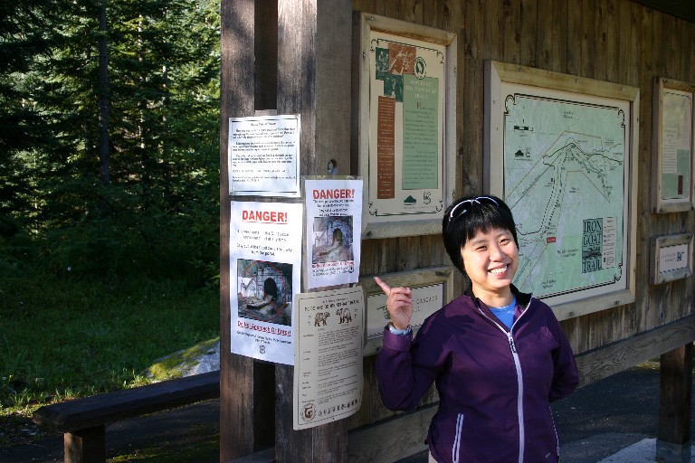
Here's Baolu cheerfully pointing out the DANGER! signs at the Wellington trailhead. These relate to the recent cave-in at the west portal of the old Cascade tunnel. Basically, the roof of the tunnel collapsed and formed a dam which held back water which normally drains out the west portal. When the dam finally collapsed, a huge mud-flow blasted out the west portal taking much of the trail boardwalk leading up to it. I understand this area is now closed.
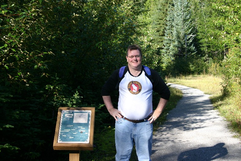
Here's me all bright-eyed and bushy-tailed ready to start hiking "downhill".
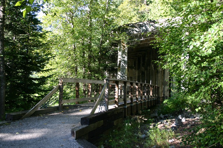
Entrance to the east end of the concrete snowsheds.
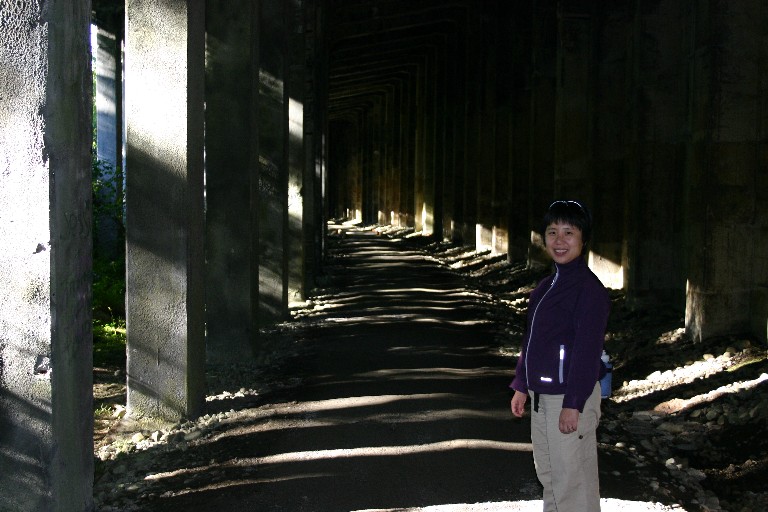
Early morning light in the snowsheds.
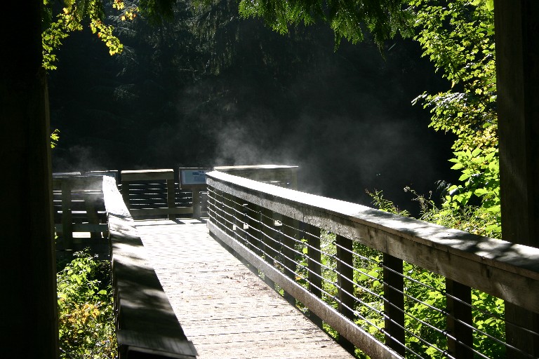
Steam rising eerily at the site of the Wellington Avalanche
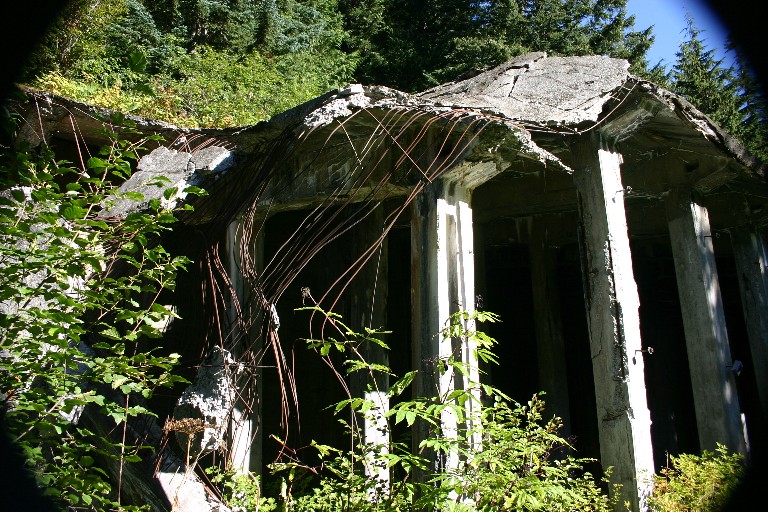
The west end of the concrete snowsheds are slowly collapsing.
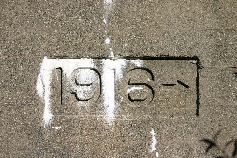
Date of construction of the Wellington Snowsheds.
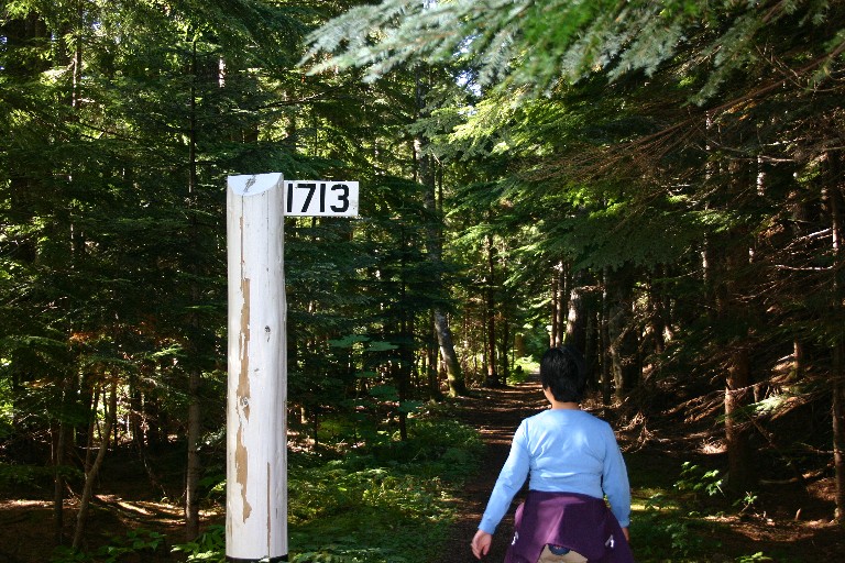
Stomping along at Milepost 1713 (GN railroad miles from Saint Paul, Minnesota).
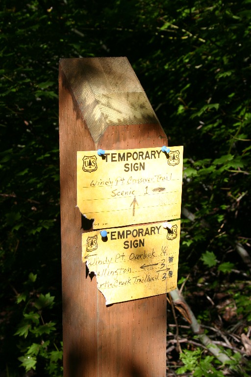
Castle-like retaining walls hold back the mountainside. At Windy Point as we rested and enjoyed the great view, none other than Tom Garrett passed by and said hello! As a lad, Tom on occasion would join his father who was agent at the Scenic depot. This was his old stomping grounds.
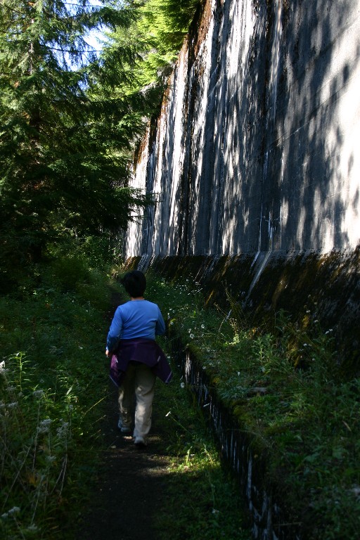
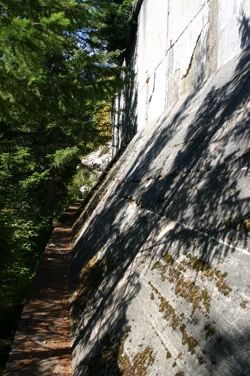
Walking gingerly along the narrow edge of the Windy Point snowshed. It is a long, steep drop to Scenic far below.
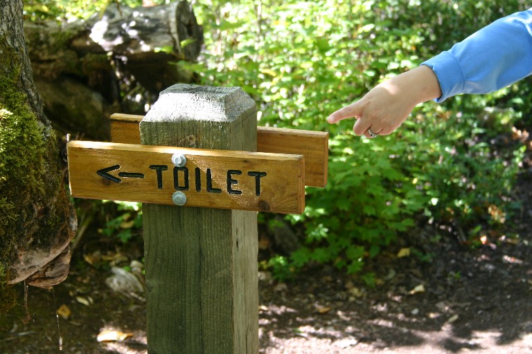
The chamber of relief at Windy Point.
Evidence of bears at the Windy Point crossover trail.
West Portal of Windy Point tunnel.
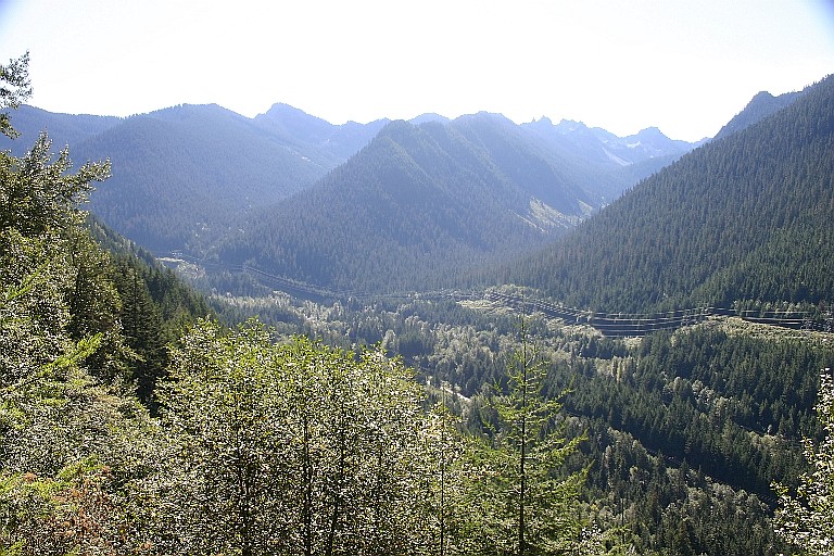
Nice vista from the trail.
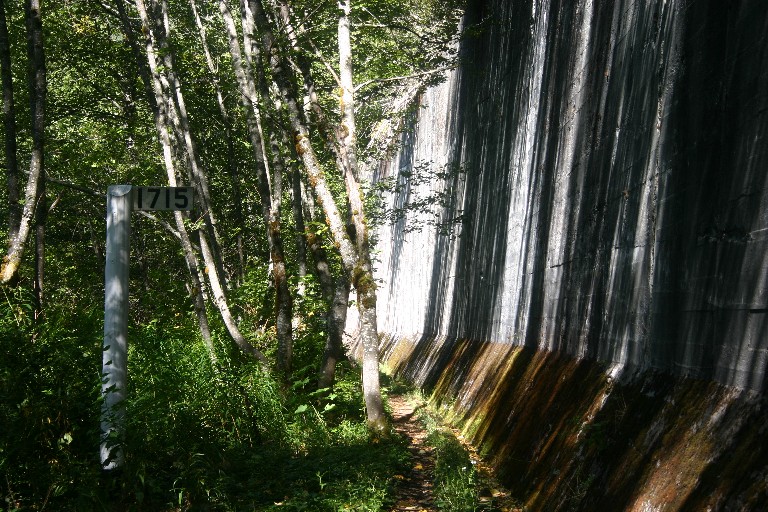
Milepost 1715 alongside another mammoth retaining wall.
What you see is what you get.
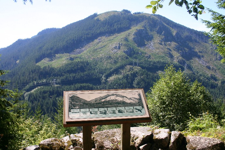
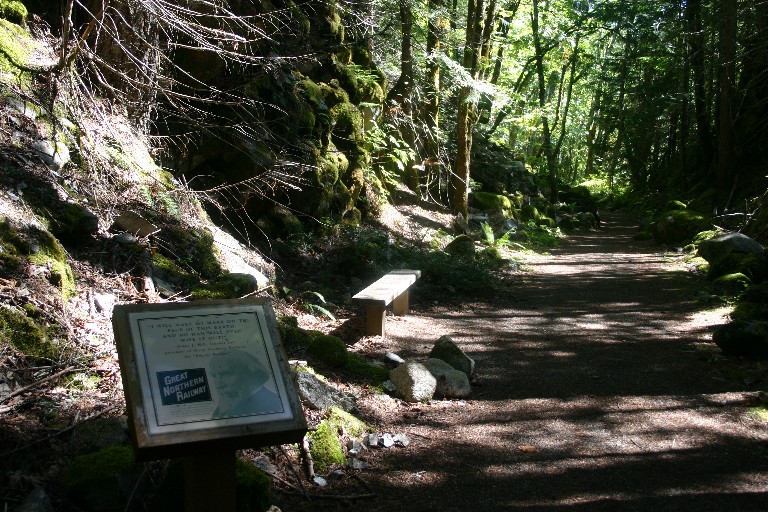
Now on the lower level trail heading towards Scenic. That's James J. Hill on the interpretive sign.
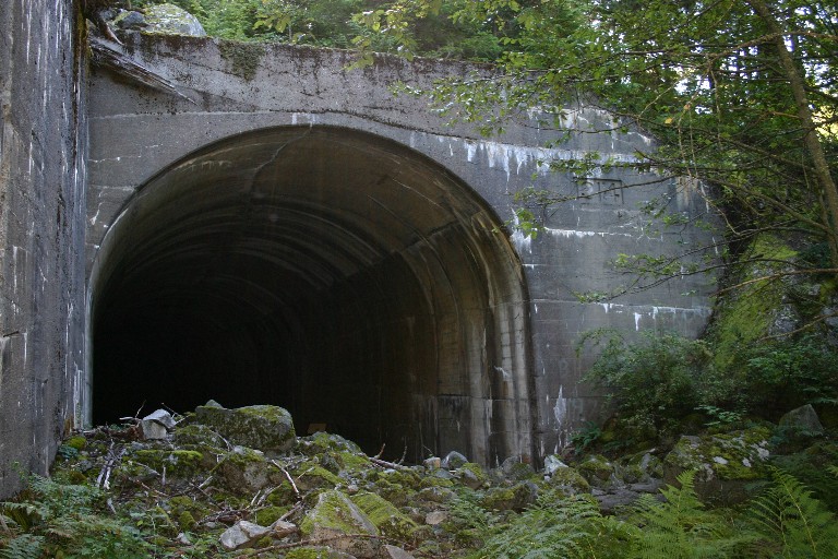
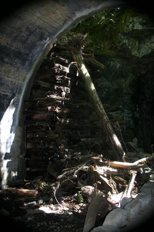
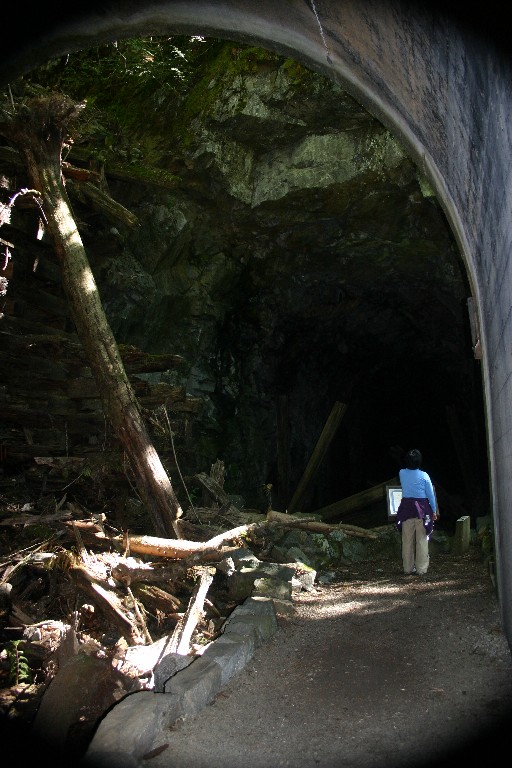
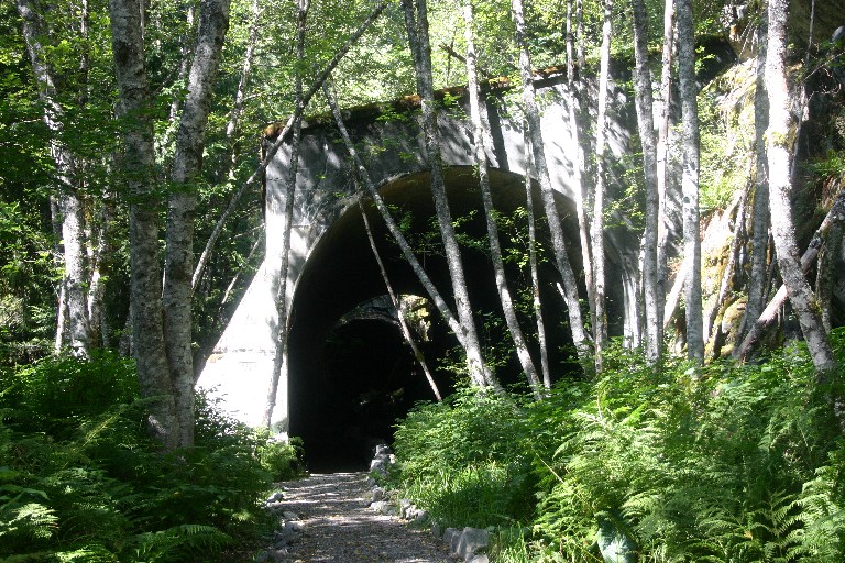
I couldn't quite get this in in one frame. This is the concrete entrance to the Twin Tunnels along the lower level. Magnificent feeling walking through this huge arch - just like out of a movie set.
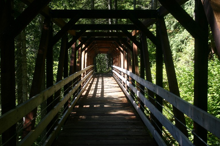
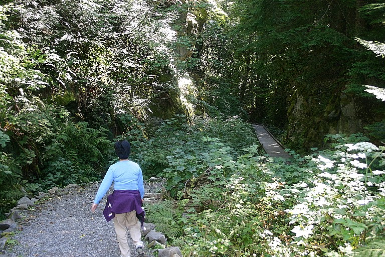
Walking along eastward (railroad westward), the trail crosses this impressive, pedestrian bridge over a ravine. I shot this picture looking back the way we came. I think at this point the railroad was in the hillside to the right (twin tunnels).
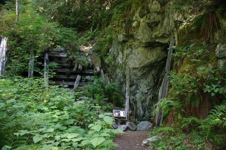
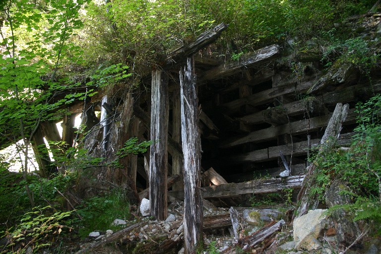
One of the last examples of wooden "cribbing" which was once common along the old line.
Approaching a cut along the lower level.
This is another of those magnificent arches -- this time on the other end of the Twin Tunnels.
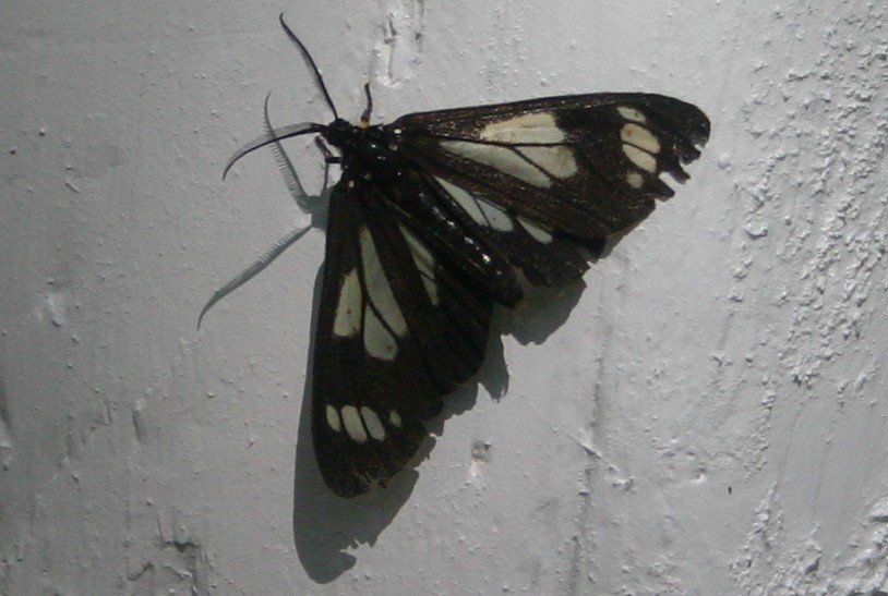
Mister Butterfly rests on the side of Milepost 1719.
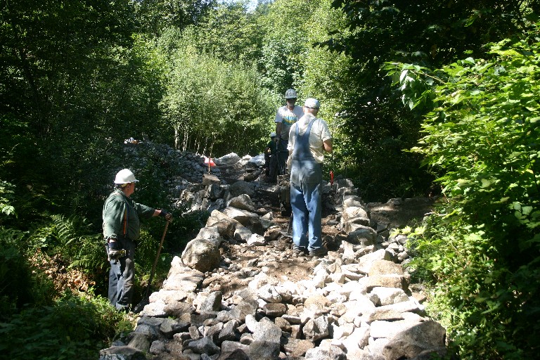
Volunteer trail workers repairing a section of trail that had been washed away in a mudslide. It's guys and gals like these that built and maintain this excellent trail and slice of GN History.
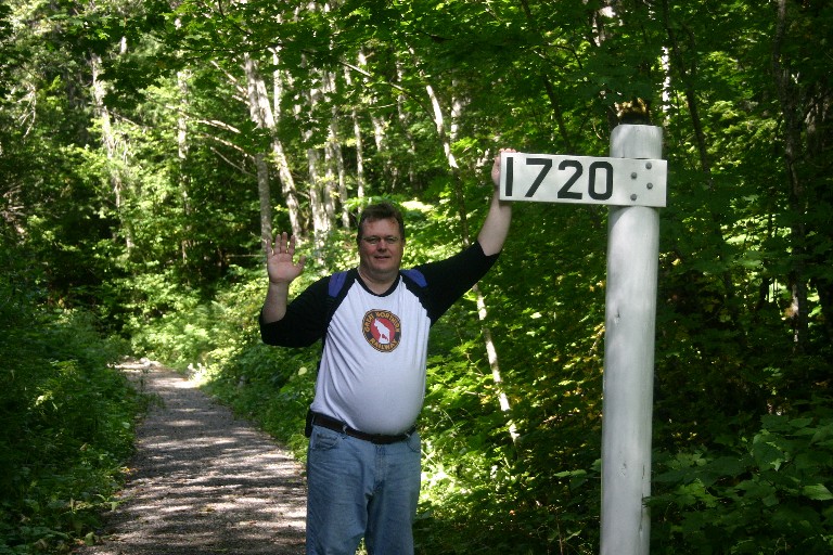
Nine miles later, yours truly at MP 1720 managing a lethargic wave. Are we there yet?
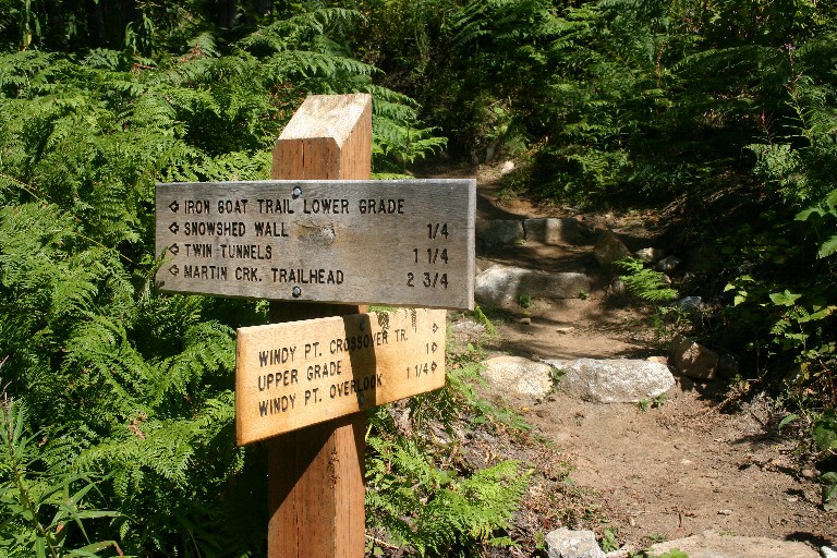
Windy Point crossover trailhead near Scenic (lower level).
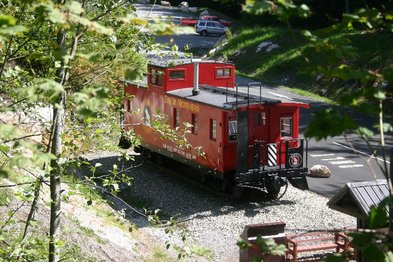
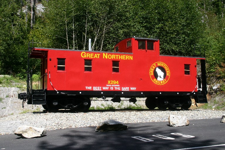
Almost back! We break out of the woods and see the X-294 reposing at Scenic.
Here's the X-294 in all its repainted glory. It was a long hike, but very interesting, especially the Twin Tunnels area on the lower level which we had never seen. Lindsay says, "Check it Out" if you're in the area. Also, kudos to the volunteers who keep this trail in shape so the rest of us can enjoy it. You guys are the best!
THE END
|